
Related items loading ...
Name of Research Project
|
Related Project
|
Part
|
|
GWF-MWF: Mountain Water Futures
|
|
|
|
|
|
|
|
Dataset Title
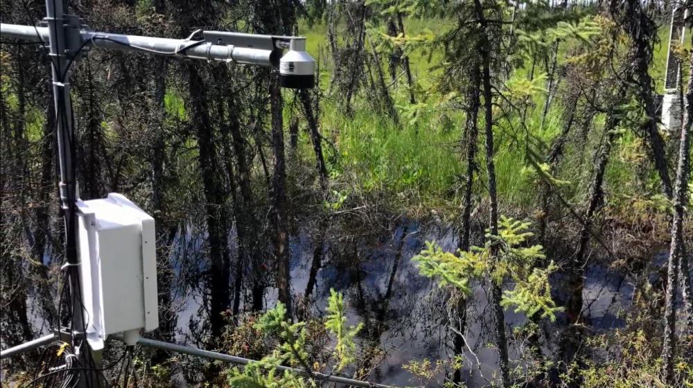
Hydrological and meteorological dataset from the Lake O'Hara alpine hydrological observatory, 2004-2017
Abstract
The Lake O'Hara watershed in the Canadian Rockies has been the site of several hydrological investigations. It has been instrumented to a degree uncommon for many alpine study watersheds. The following data are available in this dataset: Air temperature, relative humidity, wind, precipitation, radiation, and snow depth are measured at two meteorological stations near Lake O'Hara and in the higher elevation Opabin Plateau. Water levels at Lake O'Hara, Opabin Lake, and several stream gauging stations are recorded with pressure transducers and validated against manual measurements. Stage-discharge rating curves were determined at gauging stations and used to calculate discharge from stream stage. This dataset also includes additional data such as water chemistry (temperature, electrical conductivity, and stable isotope abundance) and snow survey (snow depth and density) for select years, as well as geospatial data (elevation and land cover). We believe this dataset will be useful for future study of alpine regions, where substantial and long-term hydrological datasets are scarce due to difficult field conditions.
Purpose
This data supports the Global Water Futures project Mountain Water Futures and its goals to identify and characterize aquifers in alpine headwaters, develop simple algorithms representing groundwater storage-discharge relation, and incorporate them in river-basin hydrological models.
Citations
He, J., Hayashi, M. (2018). Hydrological and meteorological dataset from the Lake O'Hara alpine hydrological observatory, 2004-2017 [Dataset]. Federated Research Data Repository.
https://doi.org/10.20383/101.035 .
He, J. and Hayashi, M. (2019). Lake O'Hara alpine hydrological observatory: hydrological and meteorological dataset, 2004–2017. Earth Syst. Sci. Data, 11, 111–117,
https://doi.org/10.5194/essd-11-111-2019 .
Terms of Use
Creative Commons Attribution 4.0 International Public License
Does the data have access restrictions?
Download Links and Instructions
Total Size of all Dataset Files (GB)
0.0783
File formats and online databases
Other Data Formats (if applicable)
Shape files
 Legacy sites
 Metadata Editor
 Alias List Editor
 Master
 Data
Data Collections
 Websites
 Map
Map
 Utilities
 . . .
. . .