
Related items loading ...
Name of Research Project
|
Related Project
|
Part
|
|
GWF-BWF: Boreal Water Futures
|
|
|
|
|
|
|
|
Dataset Title
Soil depth and depth of burn in peat deposits and peatlands in the Boreal Shield, ON.
Abstract
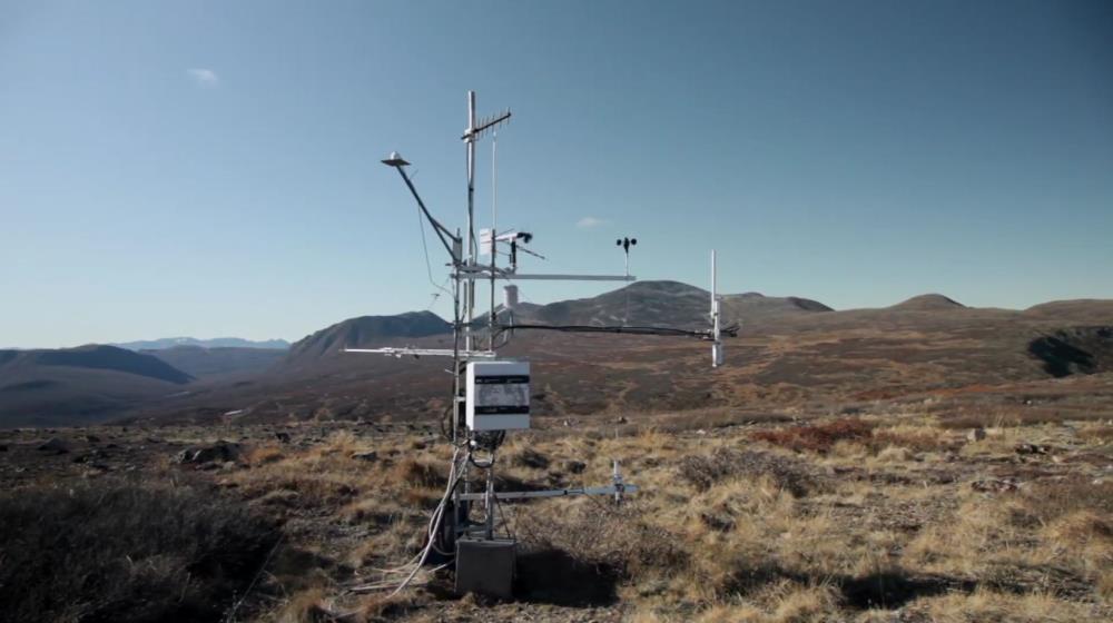
This is a field data set collected post-fire (in May/June 2019), after the PAR33 fire that ignited in July 2018. Data consists of point measurements to retroactively evaluated burn severity and carbon loss. Further, time series water level data from nearby unburned sites were incorporated in analyses.
Purpose
The objective of this research is to develop a water futures risk assessment framework (WFRA) for boreal users and stakeholders to create a more resilient wildland-society-water nexus in Canada's boreal landscape. Specifically, the sub-project focused on the knowledge gaps surrounding wetland wildfire interactions, since wetlands and wildfire are ubiquitous across the boreal. Fire behaviour in peat deposits and wetlands were assessed through research involving natural fire.
Plain Language Summary
The purpose of this research was to test peat depth as a control on peat burn severity, to provide a simple and (relatively) easy metric to assess vulnerability to severe burning in areas with high organic soil content. We related peat depth to peatland function using multiple sites with continuous water level data.
Status of data collection/production
Primary Source of Data
Does the data have access restrictions?
File formats and online databases
 Legacy sites
 Metadata Editor
 Alias List Editor
 Master
 Data
Data Collections
 Websites
 Map
Map
 Utilities
 . . .
. . .