This site requires Cookies enabled in your browser for login.
WaterNet Home
WaterNet
for
pour le
Canada
Menu
WaterNet
Home
GWFO
Home
Master
List
Data
Centre
Collections
X
Defaults
Select All
Websites
X
Global Water Futures Observatories (GWFO) Global Water Futures (GWF) Global Institute for Water Security (GIWS) International Network of Alpine Research Catchment Hydrology
Legacy Research Programs
X
Changing Cold Regions Network (CCRN) Drought Research Initiative (DRI) International Network of Alpine Research Catchment Hydrology (Legacy Site) Improving Processes & Parameterization for Prediction in Cold Regions Hydrology (IP3) The Mackenzie Global Energy and Water Cycle Experiment (GEWEX) Study (MAGS)
Legacy sites
Map
Utilities
X
Account Settings Metadata Editor Record List Alias List Editor
Data Centre
Data Type Editor
. . .
X
Clear
Select All
Advanced Search
Related items loading ...
Fetching Chart ...
Overview Research Site Status and Provenance Access and Downloads
Name of Research Project
Related Project
Part
GWF-LSNPM: Linking Stream Network Process Models to Robust Data Management Systems (for the Purpose of Land-Use Decision Support)
Dataset Title
Bedload Sediment Transport and Morphologic Data in Semi-alluvial Rivers Conditioned by Urbanization and Stormwater Management, Toronto Canada
Abstract
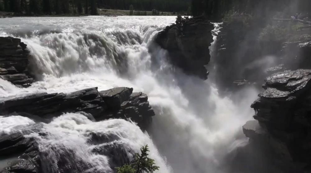
Data was collected from three rivers in the Greater Toronto Area of Southern Ontario: Ganatsekiagon Creek (City of Pickering), Wilket Creek (City of Toronto), and Morningside Creek (City of Toronto). The grain size distribution at each site was calculated using a Wolman Pebble count with a 200-stone sample size. Bedload transport was monitored over three years using Radio Frequency Identification (RFID) tracer stones, and periodic topographic surveys were conducted. A total of 300 tracers in 3 size classes were seeded in each site in August 2015. Tracer positions were recorded after each major rainfall event during the active field season each year, resulting in a total of 10, 12, and 13 recoveries in Ganatsekiagon Creek, Wilket Creek, and Morningside Creek, respectively. With each recovery, the travel distance of each tracer since its last known position is calculated. Detailed topographic surveys of the channel bed were conducted in the summers of 2016 and 2018 using a total station. Surveys were used to create DEM of Difference (DOD) at each site after a Triangular Irregular Network interpolation.
Purpose
Watershed urbanization and stormwater management (SWM) alter the hydrologic and geomorphologic processes of rivers. This purpose of this study is to characterize the bedload sediment transport regime of semi-alluvial gravel-bed rivers, and how it is affected by watershed urbanization and common SWM strategies. This project monitors the movement of coarse sediment and morphological change of three rivers in the Greater Toronto Area of Southern Ontario: Ganatsekiagon Creek (City of Pickering), Wilket Creek (City of Toronto), and Morningside Creek (City of Toronto). This study presents a means of monitoring bedload transport processes in restored rivers, and results can inform future river restoration designs. Funding for this data collection was provided by an NSERC Strategic Grant (STPGP 463321-14, Assessing and restoring the resilience of urban stream networks). This data collected will also be used to support the project titled "Linking Stream Network Process Models to Robust Data Management Systems for the Purpose of Land-Use Decision Support", which is funded under the Global Water Futures Program funded by Canada First Research Excellence Fund.
Citations
Papangelakis, E., MacVicar, B., & Ashmore, P. (2019). Bedload sediment transport and morphologic data in semi-alluvial rivers conditioned by urbanization and stormwater management. Waterloo, Canada: Canadian Cryospheric Information Network (CCIN). (dx.doi:10.20383/101.0172).
Temporal Extent
Begin Date
End Date
2013-02-01
2018-07-29
Geographic Bounding Box
West Boundary Longitude
-79.358104
East Boundary Longitude
-79.358104
North Boundary Latitude
43.730884
South Boundary Latitude
43.727890
Is Boundary Rectangular
○ Yes
◉ No
Research Site Description (if needed)
Wilket Creek (York),Ontario - FDDVE Ganatsekiagon Creek (City of Pickering) - FBGMD Morningside Creek (City of Toronto) - FETKZ
Research Site Location
Map Not Available
Display
View on Global Map
Status of data collection/production
○ Planned
○ In Progress
○ Abandoned
◉ Complete
Data Update Frequency
○ Continually
○ Daily
○ Weekly
○ Biweekly
○ Monthly
○ Anually
○ As needed
○ Irregular
◉ None planned
○ Unknown
Primary Source of Data
◻ Unknown/Unspecified
◻ Census
◻ Field collected samples
◻ Field experiment
◻ Field observation
◻ Field survey
◻ Human biological samples
▣ Lab experiment
◻ Model simulation
◻ Previously collected
◻ Qualitative (from observations or interviews)
◻ Social survey
◻ Traditional knowledge
◻ Other Source of Data (Please specify in field below)
Terms of Use
Creative Commons Public Domain Dedication (CC0 1.0) https://creativecommons.org/publicdomain/zero/1.0/
Does the data have access restrictions?
▣ No restriction (data is currently open to public)
◻ Limited (data is currently under embargo until publication)
◻ Limited (data involves intellectual property issues related to local or traditional knowledge)
◻ Limited (release of data may cause harm to the environment or to the public)
◻ Limited (pre-existing data has been used and is subject to access restrictions)
◻ Limited (data involves human subjects)
◻ Limited (data is supported by industry partnerships)
◻ Limited (data is supported by government partnerships)
Download Links and Instructions
Cited by: https://doi.org/10.20383/101.0172 FRDR (Globus) https://auth.globus.org/p/login?client_id=8fb65971-8d89-4f6d-a1ae-8577c62673bc&scope=urn%3Aglobus%3Aauth%3Ascope%3Aauth.globus.org%3Aview_identities+urn%3Aglobus%3Aauth%3Ascope%3Anexus.api.globus.org%3Agroups+urn%3Aglobus%3Aauth%3Ascope%3Atransfer.api.globus.org%3Aall&response_type=token&redirect_uri=%2Fv2%2Foauth2%2Fauthorize%3Fclient_id%3D8fb65971-8d89-4f6d-a1ae-8577c62673bc%26scope%3Durn%253Aglobus%253Aauth%253Ascope%253Aauth.globus.org%253Aview_identities%2520urn%253Aglobus%253Aauth%253Ascope%253Anexus.api.globus.org%253Agroups%2520urn%253Aglobus%253Aauth%253Ascope%253Atransfer.api.globus.org%253Aall%26response_type%3Dtoken%26redirect_uri%3Dhttps%253A%252F%252Fglobus.frdr.ca%252Flogin%26redirect_name%3DFederated%2520Research%2520Data%2520Repository%2520Globus%2520Web%2520App%26state%3D9eri7gw3w56%26viewlocale%3Den_US&redirect_name=Federated+Research+Data+Repository+Globus+Web+App&viewlocale=en_US
© 2026 - WaterNet Version 2026-06-01
Global Water Futures Observatories
Powered by
G W F Net
T-2022-02-15-81HHp7sSjmU2581Oi5gQzJug Dataset 1.2