
Related items loading ...
Name of Research Project
|
Related Project
|
Part
|
|
GWF-NWF: Northern Water Futures
|
|
|
|
|
|
|
|
Dataset Title
Investigation of alpine land cover classes and their influence on basin water balance in the Mackenzie Mountains, Northwest Territories
Abstract
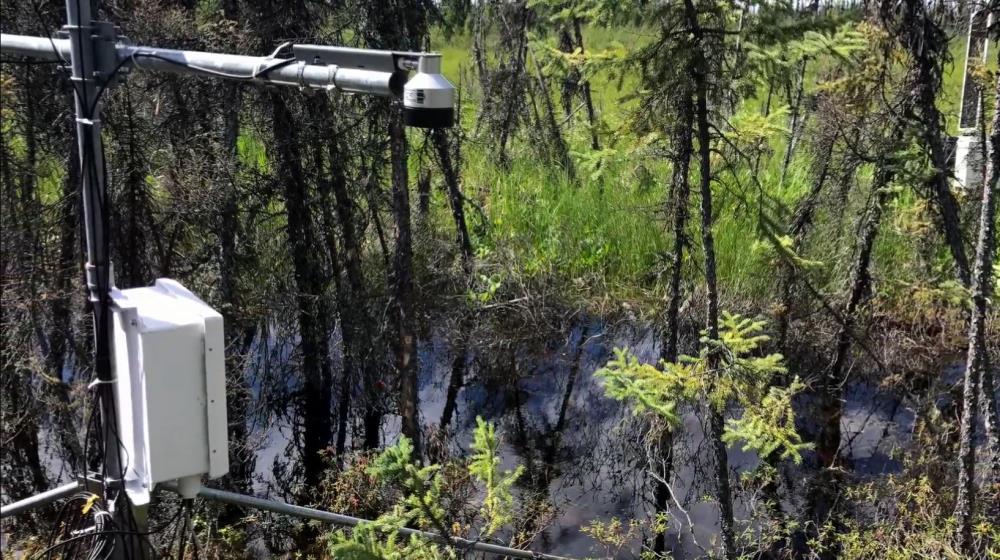
Data collected for this project include a series of surface and subsurface variables characterizing the thermal and mass balance of observation points and the study basin as a whole. This includes both continuous (30 minute intervals) and discrete data sets collected between 2017-07-10 and 2019-09-10. Each data set was stratified across a series of land cover classes designated within the study basin: open water, mineral-cored uplands, riparian, ice-rich permafrost, and thermokarst features.
Surface variables measured continuously include stream discharge, albedo, air temperature, relative humidity, net radiation, and rain. Surface variables measured discretely include snow depth, snow density, vegetation height, and vegetation density.
Subsurface variables measured continuously include soil temperature, volumetric moisture content, and water table depth. Subsurface variables measured discretely include evapotranspiration rates, groundwater pressure head, and near surface soil thermal properties.
Drone surveys allow for estimates of snowpack depletion rates, basin extent, and mean values of elevation, aspect, and relief for each land cover class. Field samples collected for later laboratory work include water from surface and subsurface sources (d2H and d18O isotope analysis), and soil samples from mineral and organic strata (density, porosity, and hydraulic conductivity).
Purpose
This data was collected to investigate alpine land cover classes and their influence on basin water balance in the Mackenzie Mountains, Northwest Territories.
Status of data collection/production
Data Update Frequency
Primary Source of Data
 Legacy sites
 Metadata Editor
 Alias List Editor
 Master
 Data
Data Collections
 Websites
 Map
Map
 Utilities
 . . .
. . .