
Related items loading ...
Catchment Name
Nam Co Lake Area
Country
China
Mountain Range
Nyenchen Tanglha Mountains, Tibetan Plateau
Catchment Location
|
Coordinate Format
|
Latitude
|
Longitude
|
|
Degrees Minutes Seconds
|
30° 46' 0.12" N
|
90° 58' 59.88" E
|
|
Decimal Degrees
|
30.7667
|
90.9833
|
Elevation
|
Minimum
|
Maximum
|
|
4700 m a.s.l.
|
7000 m a.s.l.
|
Area
2012 km²
Main Land Covers
alpine meadow
Mean DJFM Temperature
-0.5 °C
Mean DJFM Precipitation
400 mm
Snow Characteristics
Continental type and long lasting glaciers
Additional Information (notes, web addresses, etc.)
From
http://english.itpcas.cas.cn/rh/rf/fs
The Tibetan Observation and Research Platform (TORP) is engaged in the monitoring of these three aspects,
1) interaction between geological processes and climate,
2) high-resolution records and modern environmental processes, and
3) land surface processes and alpine atmospheric processes.
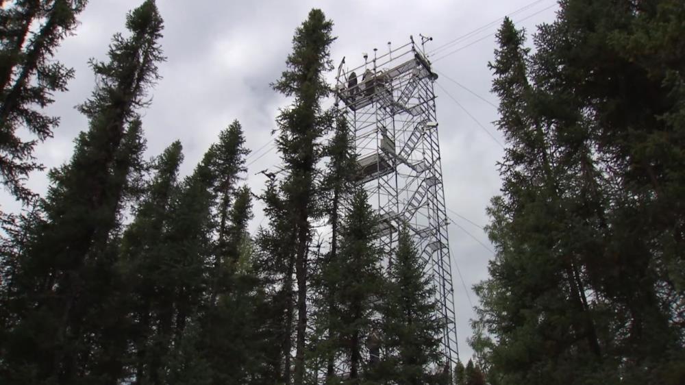
Nam Co Monitoring and Research Station for Multisphere Interactions,CAS (NAMORS): The NAMORS (30°46'N, 90°59'E, 4730 m a.s.l), located in the southeast shore of the Nam Co, northern slope of the Nyainqentanglha Mts, was established by the Institute of Tibetan Plateau Research, CAS in 2005. Research in the station focuses on multisphere interactions in the geo-system. Since 2005, research projects include meteorological and hydrological monitoring, atmospheric boundary layer observation, modern lake processes and environmental change, monitoring of glacier, snow and permafrost, atmospheric environment observation, monitoring of vegetation and soils and other geophysical monitoring.
 Legacy sites
 Metadata Editor
 Alias List Editor
 Master
 Data
Data Collections
 Websites
 Map
Map
 Utilities
 . . .
. . .