This site requires Cookies enabled in your browser for login.
WaterNet Home
WaterNet
for
pour le
Canada
Menu
WaterNet
Home
GWFO
Home
Master
List
Data
Centre
Collections
X
Defaults
Select All
Websites
X
Global Water Futures Observatories (GWFO) Global Water Futures (GWF) Global Institute for Water Security (GIWS) International Network of Alpine Research Catchment Hydrology
Legacy Research Programs
X
Changing Cold Regions Network (CCRN) Drought Research Initiative (DRI) International Network of Alpine Research Catchment Hydrology (Legacy Site) Improving Processes & Parameterization for Prediction in Cold Regions Hydrology (IP3) The Mackenzie Global Energy and Water Cycle Experiment (GEWEX) Study (MAGS)
Legacy sites
Map
Utilities
X
Account Settings Metadata Editor Record List Alias List Editor
Data Centre
Data Type Editor
. . .
X
Clear
Select All
Advanced Search
Related items loading ...
Fetching Chart ...
Site Information Location Images Data Access
Site Name
Urban Ecohydrology 1: Ajax Sewersheds (East & West)
Site Identifier(s)
gwfo-050
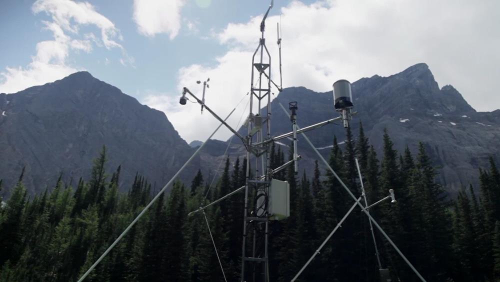
Type of Instrumentation
Automatic water samplers, flow meters (Calvin Hitch, TRCA)
Purpose (hydrological, aquatic, ecosystem, cryospheric)
The Urban Ecohydrology Observatory, in general, is located in Southern Ontario, Canada and consists of a network of stormwater green infrastructure in the Waterloo Region and the Greater Toronto Area. This observatory is used to study - source water protection, - nutrient and microplastics abatement practices, - water quality improvement, and - climate mitigation. The Ajax Sewersheds are located in the eastern Greater Toronto Area, in the Town of Ajax, Ontario, draining to the north shore of Lake Ontario. The instrumented Ajax East and Ajax West storm sewersheds are centered at approximately 43.82 N latitude and 78.98 W longitude, representing two small urban drainage areas that outfall toward Lake Ontario within Ajax.
Program Affiliations
GWFO: Global Water Futures Observatories
Project Affiliations
GWF-LF: Lake Futures
GWF-Managing Urban Eutrophication Risks under Climate Change: An Integrated Modelling and Decision Support Framework
Institution
University of Waterloo
Country
Canada
River Basin
Basin
Subbasin
Sub-subbasin
Lake Ontario
Coordinates
Coordinate Format
Latitude
Longitude
Degrees Minutes Seconds
Decimal Degrees
43.819
-78.985
Site Map
Map Not Available
Display
View on Global Map
Datasets and Real-time Data Feeds
Data Centre Postings
© 2026 - WaterNet Version 2026-06-01
Global Water Futures Observatories
Powered by
G W F Net
T-2023-02-22-s1Hd5mrwzm0m0gE0loJF9lQ GWFO_Site 1.0